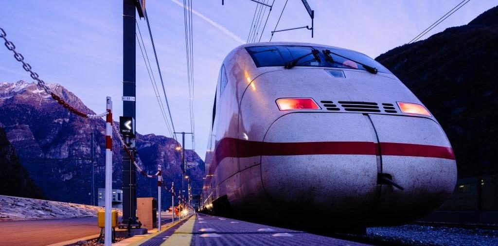
Achieving high-accuracy geo-localization inside a 57-kilometre tunnel without GPS
In outdoor conditions, geo-localization is usually carried out with GPS data and there is no challenge to succeed in such a mission. But inside a tunnel, where GPS is not available, the task is more difficult, unless aided by the high-performance TopAxyz IMU combined with the iMAR system architecture and data fusion.

To carry out their mission, iMAR selected the Thales TopAxyz IMU (Inertial Measurement Unit) within its core navigation and localization system. The system was used inside the tunnel to deliver the position of the data measured in order to achieve certification of the GSM-R network installations.br>
At the end of the 57-kilometre tunnel, the derivation of measurements was well below 0.03%.
Find us on Twitter @thales_avionics, on our official Youtube channel Onboard TV and on LinkedIn Thales Aerospace.


